01 / PROPERTY
Commercial Real Estate
Show buildings, parking, access, surrounding development and site context with polished aerial photography and video.
Explore commercial services →
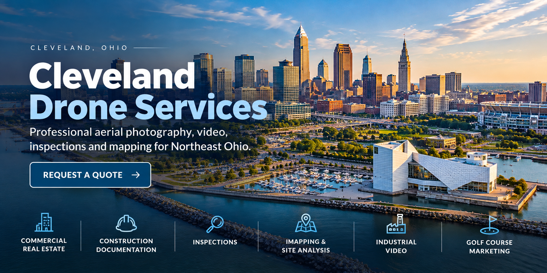
From a single property shoot to repeat construction documentation, we capture the perspective your team needs to market, inspect, plan and communicate.
Show buildings, parking, access, surrounding development and site context with polished aerial photography and video.
Explore commercial services →Track milestones, site conditions and project progress with consistent aerial imagery for owners, contractors and stakeholders.
Explore construction services →Capture detailed visual imagery of rooftops, exteriors and hard-to-reach building features to support assessment and documentation.
Explore inspection services →Document large properties, land and development sites with overhead imagery and mapping deliverables tailored to the job.
Explore mapping options →Bring facilities, campuses, operations and company stories to life with high-impact aerial footage.
Explore bringing locations to life →Present course layouts, grounds, amenities and the scale of your property from a perspective ground-level cameras cannot provide.
Explore golf course marketing services →Cleveland's commercial landscape ranges from downtown offices and waterfront properties to industrial facilities, retail corridors and major construction sites.
Drone imagery adds the context that matters: scale, access, neighboring properties, site layout and project progress—all in a clear visual format your audience can understand quickly.
Every project is planned around how you'll use the final imagery.
NE Ohio Drone works with businesses throughout the Cleveland market, including Downtown Cleveland, Independence, Beachwood, Westlake, Strongsville, Solon and surrounding communities.
Whether you're marketing a commercial property, documenting a construction site or planning aerial coverage for a facility, we'll discuss the scope, location and deliverables before the flight.
Tell us what you're working on, where the site is located and what you need to capture. We'll help you plan the right aerial approach.
Or email NEOhioDrone@gmail.comFlight availability and specific deliverables depend on project requirements, weather and applicable FAA airspace rules.